World as you've never seen it before

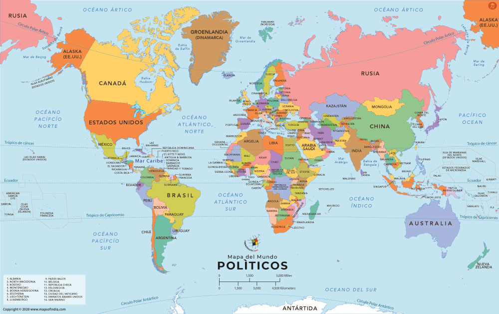
The Mercator projection increasingly inflates the sizes of regions according to their distance from the equator. This inflation results, for example, in a representation of Greenland that is larger than Africa, whereas in reality Africa is 14 times as large. Since much of the technologically underdeveloped world lies near the equator, these countries appear smaller on a Mercator, and therefore seem less significant. On Peters's projection, by contrast, areas of equal size on the globe are also equally sized on the map. By using his "new" projection, poorer, less powerful nations could be restored to their rightful proportions.
So this is the map we have all become accustomed to looking at(Mercator Projection):

and this is what the world actually looks like (Peters Projection Map):

Philosophers, astronomers, historians, popes and mathematicians have all drawn global maps long before cartographers as such existed. Cartographers appeared in the "Age of Discovery", which developed into the Age of European Conquest and Exploitation and took over the task of making maps.
By the authority of their profession they have hindered its development. Since Mercator produced his global map over four hundred years ago for the age of Europeans world domination, cartographers have clung to it despite its having been long outdated by events. They have sought to render it topical by cosmetic corrections.
...The European world concept, as the last expression of a subjective global view of primitive peoples, must give way to an objective global concept.
The cartographic profession is, by its retention of old precepts based on the Eurocentric global concept, incapable of developing this egalitarian world map which alone can demonstrate the parity of all peoples of the earth.


the world got on a diet ,so what?
no,but truly, interesting .
I never realized how really continents are so different in size.
whats that
Am I supposed to get that? :P
The Earth can be any shape you want it
Any shape at all
Dark and cold or bright and warm
Long or thin or small
But it's home and all I ever had
And maybe why for me the Earth is flat :o)
Brit...ever walked to the edge then?
You of the Flat Earth Society have a flawed view of Earth!
we of the Flat Earth Society would beg to differ ...
ya, its expanding day by day :D
And, PF, there is also Google Earth!
damn, you gangsta
I grew up with the pictures of NASA. I don't need any of these distorted projections to know how Earth looks!
I would reread the first paragraph spock...I'm not saying we should all adopt it but still is something interesting to think about...it is considerably more accurate than the former
You cannot project a sphere onto a two-dimensional area with out calculated distortion! In any case your projection will be racist, so or so.
The Mercator projection seems racist to me lol..
blank stare!